Home › North America
Countries of North America
23 countries3 regions17 territories
North America has 23 countries. Don't try to learn them all at once: follow the route below through 4 small groups of neighbours, with capitals, flags and a memory hook for the trickiest shapes, then test yourself.
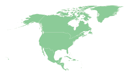
Your route through North America
- 1
Northern America
3 countries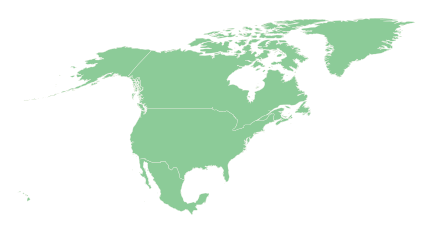
3 countries, a good size for one sitting. Start with United States, which touches 2 of the others, then work outwards.
Memory hooks to start you off
- Mexico
A horn or cornucopia pointing south-east from the bottom of the United States, with the Baja peninsula dangling down on the west like a thin tail.
- Canada
Everything above the United States: the huge country that wears the US like a hat, with a scatter of Arctic islands up top and Hudson Bay biting a hole in the middle.
- Mexico
- 2
Central America
7 countries
7 countries, a good size for one sitting. Start with Guatemala, which touches 3 of the others, then work outwards.
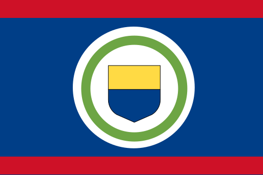 BelizeBelmopan
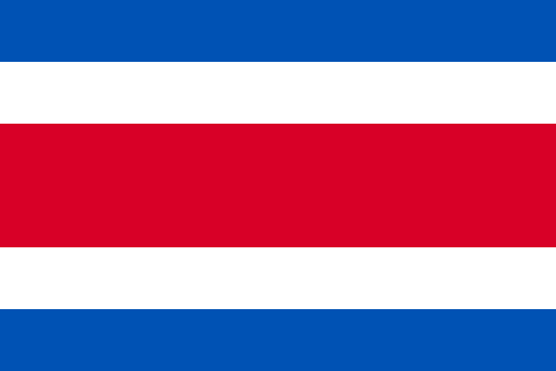 Costa RicaSan José
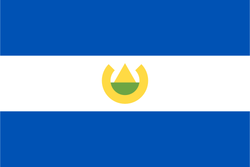 El SalvadorSan Salvador
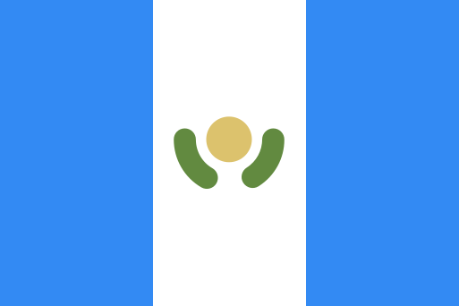 GuatemalaGuatemala City
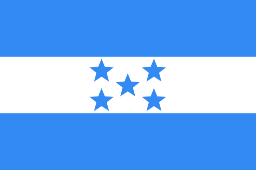 HondurasTegucigalpa
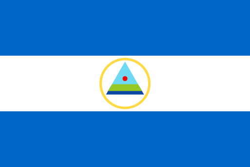 NicaraguaManagua
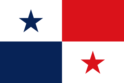 PanamaPanama City
Memory hooks to start you off
- El Salvador
The small one on the Pacific side, wedged between Guatemala and Honduras with no Caribbean coast at all.
- Costa Rica
A narrow country below Nicaragua, with the Nicoya peninsula curling down on the Pacific side like a hooked finger.
- 3
Caribbean, northern part
7 countries
Caribbean has 13 countries, too many for one sitting, so it is split into 2 parts from north to south. This is the northern part. Start with Dominican Republic, which touches 1 of the others, then work outwards.
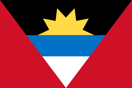 Antigua and BarbudaSaint John's
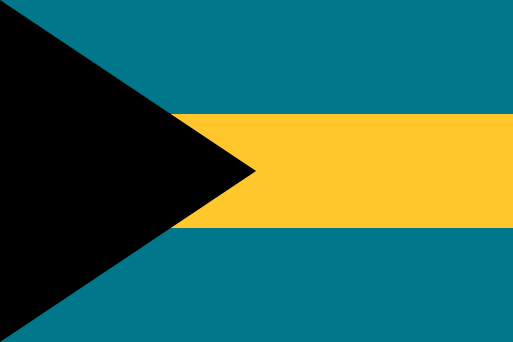 BahamasNassau
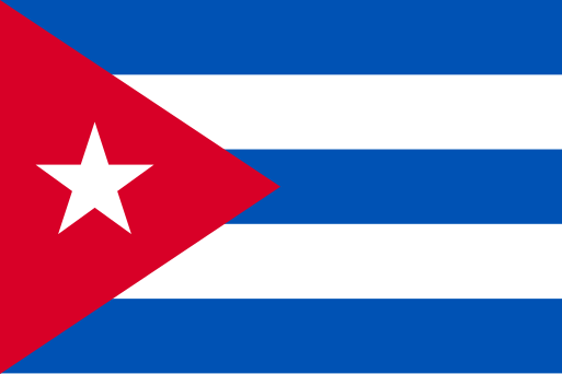 CubaHavana
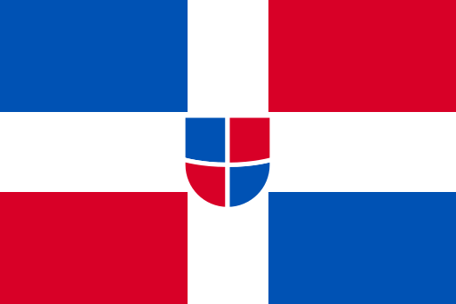 Dominican RepublicSanto Domingo
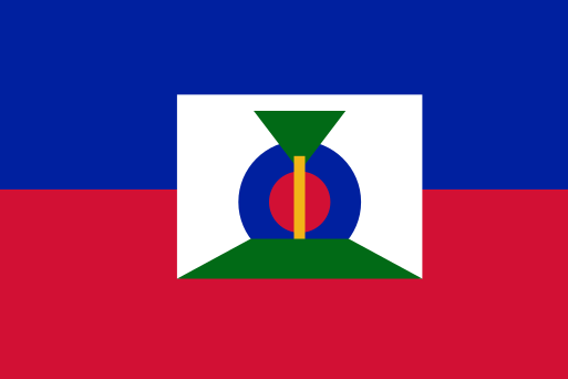 HaitiPort-au-Prince
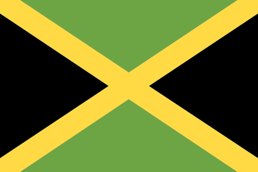 JamaicaKingston
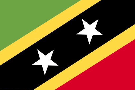 Saint Kitts and NevisBasseterre
Memory hooks to start you off
- Cuba
A long, slim crocodile shape lying across the mouth of the Gulf of Mexico, just south of Florida.
- Haiti
The western third of the island of Hispaniola, shaped like a pair of open claws reaching out towards Cuba.
- 4
Caribbean, southern part
6 countries Caribbean has 13 countries, too many for one sitting, so it is split into 2 parts from north to south. This is the southern part. None of these touch each other by land, so learn each one by where it sits compared with its nearest neighbours.
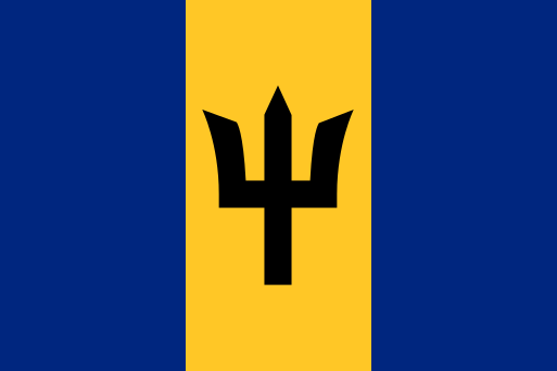 BarbadosBridgetown
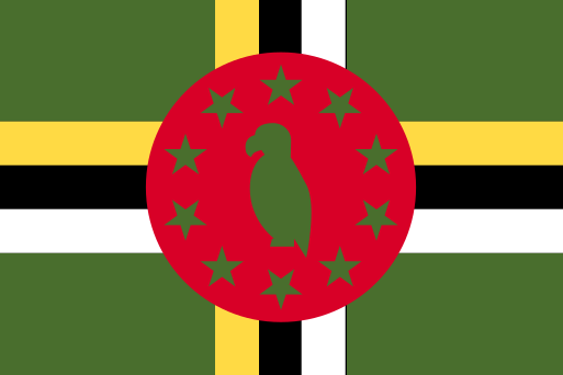 DominicaRoseau
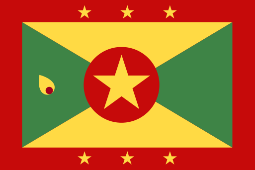 GrenadaSt. George's
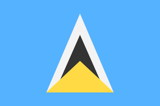 Saint LuciaCastries
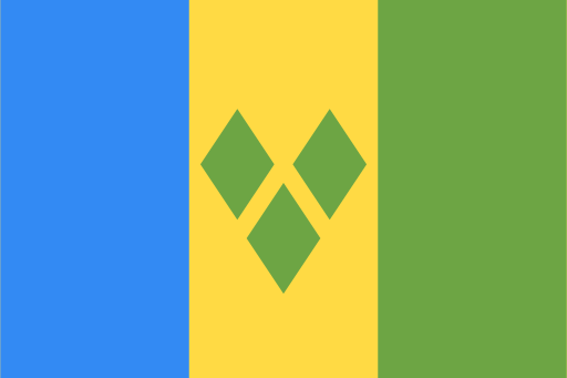 Saint Vincent and the GrenadinesKingstown
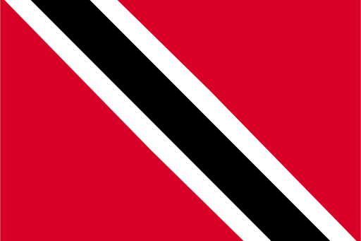 Trinidad and TobagoPort of Spain
Memory hooks to start you off
- Barbados
A small teardrop sitting alone, a little east of the main curve of the Lesser Antilles.
- Saint Lucia
A mango-shaped island in the middle of the Lesser Antilles, with Martinique to its north and Saint Vincent to its south.
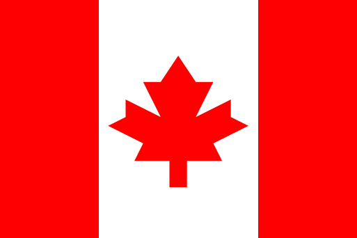 Canada
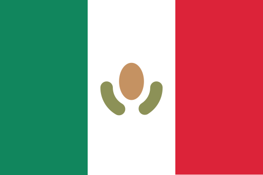 Mexico
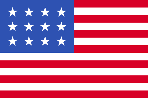 United States
Territories and disputed areas
-
 Anguilla Caribbean
 -
 Aruba Caribbean
 -
 Bermuda Northern America
 -
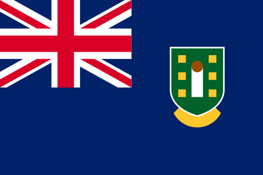 British Virgin Islands Caribbean
 -
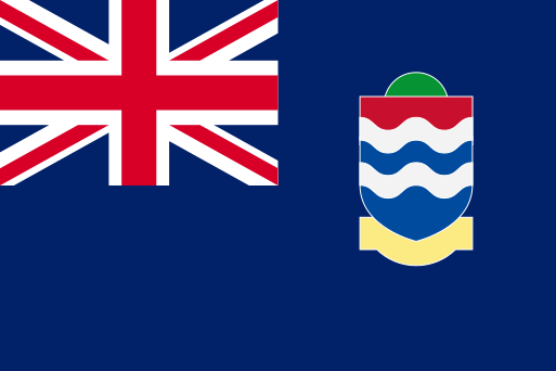 Cayman Islands Caribbean
 -
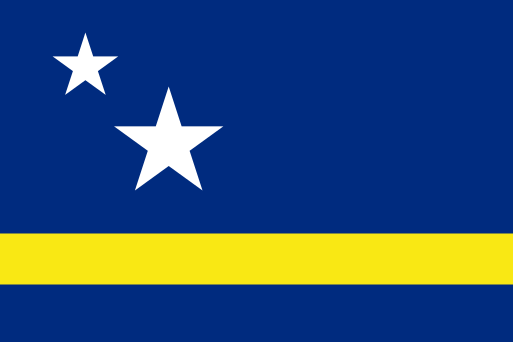 Curaçao Caribbean
 -
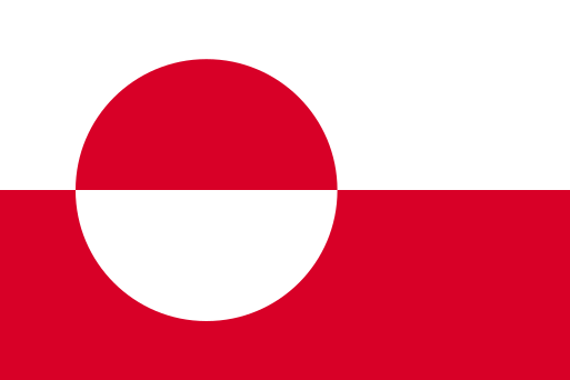 Greenland Northern America
 -
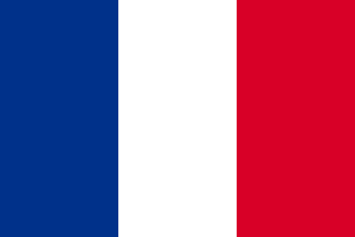 Guadeloupe Caribbean
 -
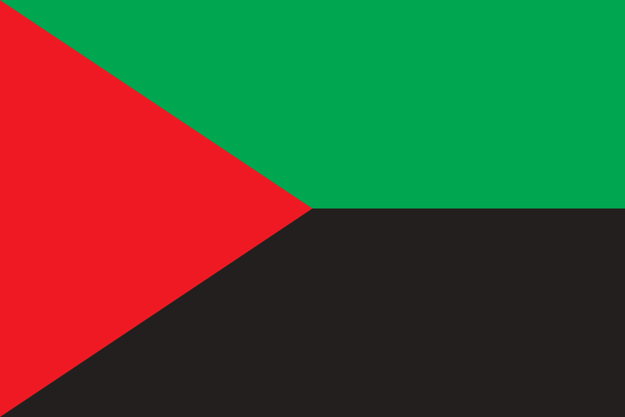 Martinique Caribbean
 -
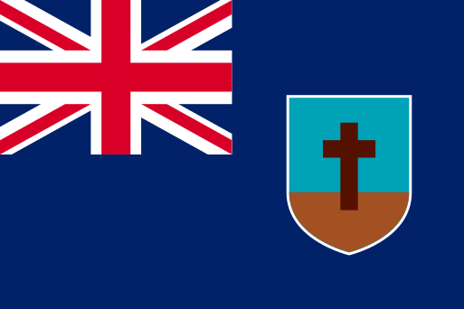 Montserrat Caribbean
 -
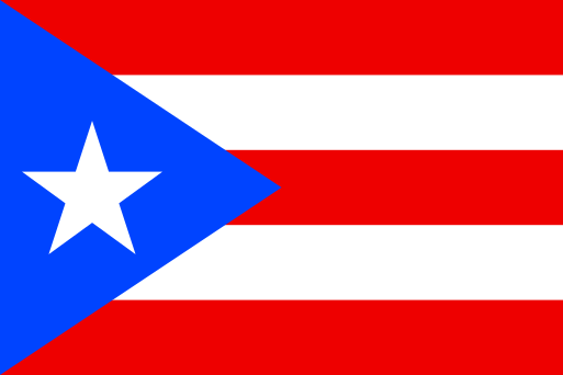 Puerto Rico Caribbean
 -
 Saint Barthélemy Caribbean
 -
 Saint Martin Caribbean
 -
 Saint Pierre and Miquelon Northern America
 -
 Sint Maarten Caribbean
 -
 Turks and Caicos Islands Caribbean
 -
 United States Virgin Islands Caribbean
Ready to test yourself?
Open the map, start from a country you know, and unlock its neighbours one by one.