Home › Europe
Countries of Europe
45 countries6 regions7 territories
Europe has 45 countries. Don't try to learn them all at once: follow the route below through 8 small groups of neighbours, with capitals, flags and a memory hook for the trickiest shapes, then test yourself.
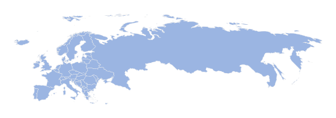
Your route through Europe
- 1
Eastern Europe
4 countries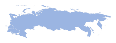
4 countries, a good size for one sitting. Start with Ukraine, which touches 3 of the others, then work outwards.
Memory hooks to start you off
- Moldova
A thin, pear-shaped country squeezed between Romania on the west and Ukraine on the other three sides.
- Ukraine
A wide, chunky shape in eastern Europe with the Black Sea along its southern edge and the little diamond of Crimea hanging down into it.
- Moldova
- 2
Central Europe
6 countries
6 countries, a good size for one sitting. Start with Austria, which touches 4 of the others, then work outwards.
Memory hooks to start you off
- Slovakia
A narrow, sideways oval stretched across central Europe, sitting just below Poland and above Hungary.
- Slovenia
A small, wiggly shape squeezed between Italy and Croatia, with a tiny nibble of Adriatic coastline at the top of the sea.
- Slovakia
- 3
Southeast Europe
8 countries
8 countries, a good size for one sitting. Start with Serbia, which touches 6 of the others, then work outwards.
 AlbaniaTirana
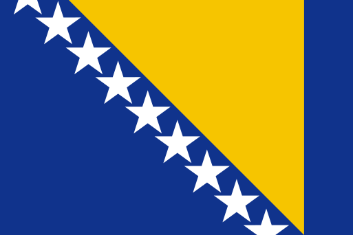 Bosnia and HerzegovinaSarajevo
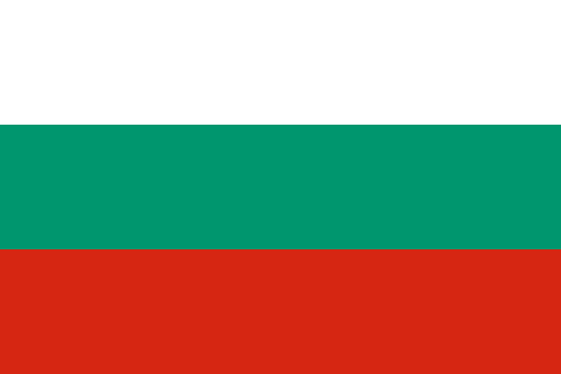 BulgariaSofia
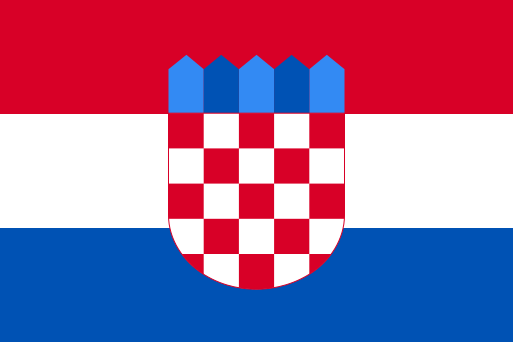 CroatiaZagreb
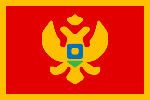 MontenegroPodgorica
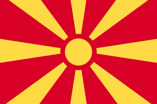 North MacedoniaSkopje
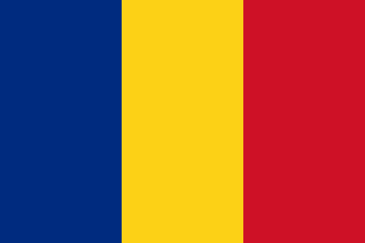 RomaniaBucharest
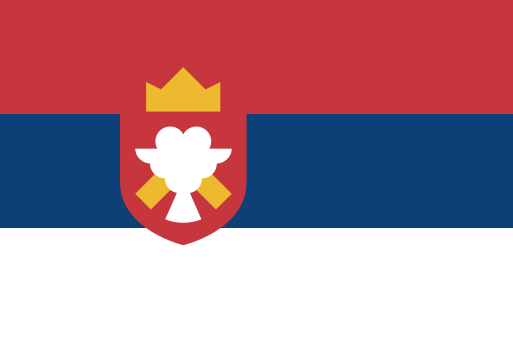 SerbiaBelgrade
Memory hooks to start you off
- Serbia
A landlocked blob in the heart of the Balkans, with a flat northern plain and many neighbours around its edges.
- Albania
A narrow strip of land on the east coast of the Adriatic, directly across the water from the heel of Italy, with Greece to the south.
- 4
Western Europe
8 countries
8 countries, a good size for one sitting. Start with France, which touches 5 of the others, then work outwards.
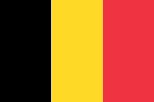 BelgiumBrussels
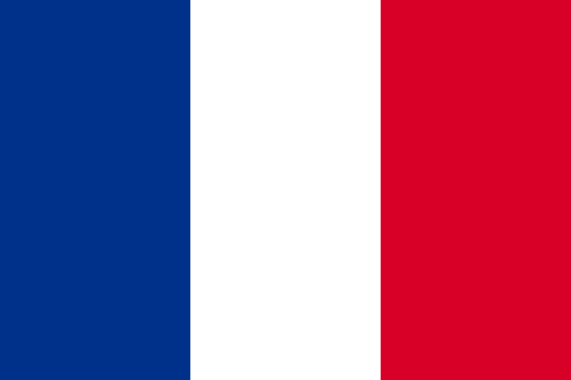 FranceParis
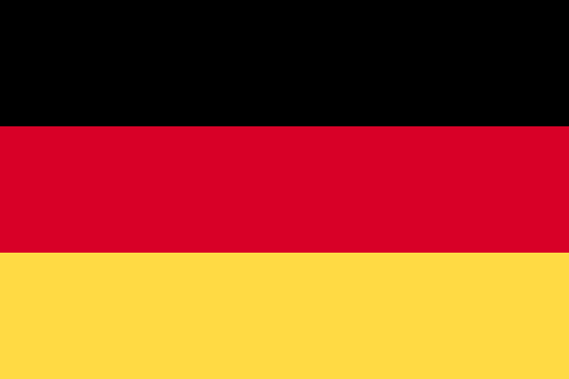 GermanyBerlin
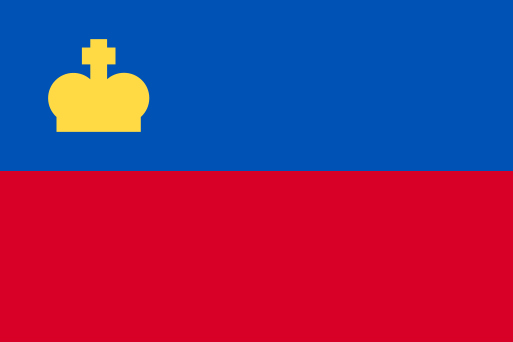 LiechtensteinVaduz
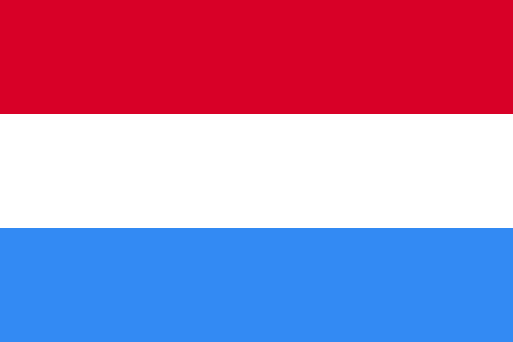 LuxembourgLuxembourg
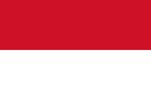 MonacoMonaco
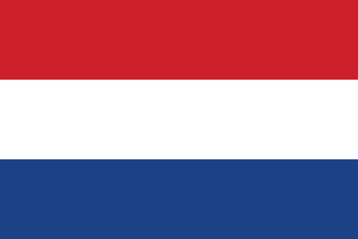 NetherlandsAmsterdam
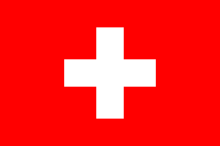 SwitzerlandBern
Memory hooks to start you off
- Luxembourg
A tiny almost-oval country wedged between Belgium, France and Germany, with no sea in sight.
- Belgium
A small, tilted shape between France and the Netherlands, with a short North Sea coast and Luxembourg and Germany to the east.
- 5
Southern Europe, northern part
5 countries
Southern Europe has 9 countries, too many for one sitting, so it is split into 2 parts from north to south. This is the northern part. Start with Italy, which touches 2 of the others, then work outwards.
Memory hooks to start you off
- Italy
Picture a high boot kicking a football. Sicily is the football, and the heel and toe point at it.
- Andorra
A tiny mountain pocket tucked high in the Pyrenees, between France on the north and Spain on the south.
- Italy
- 6
Southern Europe, southern part
4 countries Southern Europe has 9 countries, too many for one sitting, so it is split into 2 parts from north to south. This is the southern part. None of these touch each other by land, so learn each one by where it sits compared with its nearest neighbours.
Memory hooks to start you off
- Malta
A few small specks in the middle of the Mediterranean, just south of Sicily and about halfway to the coast of North Africa.
- Cyprus
A fish-shaped island in the eastern Mediterranean, with a long panhandle pointing towards Syria and Turkey's coast just to the north.
- Malta
- 7
Northern Europe, northern part
5 countries
Northern Europe has 10 countries, too many for one sitting, so it is split into 2 parts from north to south. This is the northern part. Start with Finland, which touches 2 of the others, then work outwards.
Memory hooks to start you off
- Estonia
The northernmost Baltic state, a small block facing Finland across the Gulf of Finland, with Latvia to the south.
- Finland
A tall shape at the top of Europe, with its southern edge on the Baltic Sea, Sweden on its west and Russia along its long eastern side.
- Estonia
- 8
Northern Europe, southern part
5 countries Northern Europe has 10 countries, too many for one sitting, so it is split into 2 parts from north to south. This is the southern part. Start with Ireland, which touches 1 of the others, then work outwards.
Memory hooks to start you off
- Ireland
The green island sitting west of Great Britain, with the Irish Sea in between and the Atlantic on its other sides.
- Latvia
The middle Baltic state, with a curved coastline wrapped around the Gulf of Riga and Estonia above, Lithuania below.
- Ireland
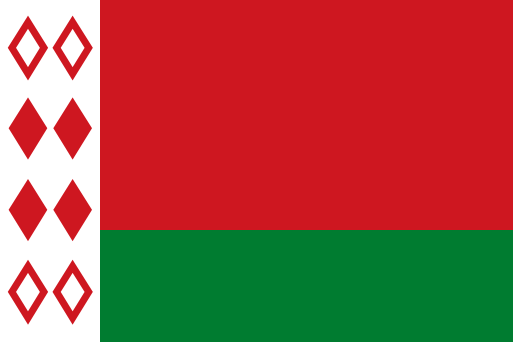 Belarus
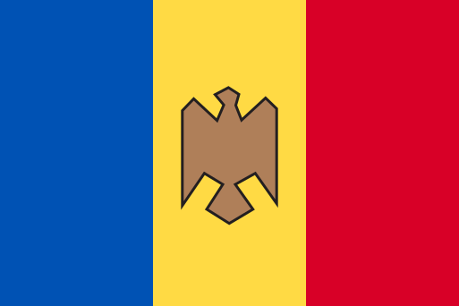 Moldova
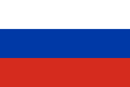 Russia
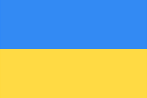 Ukraine
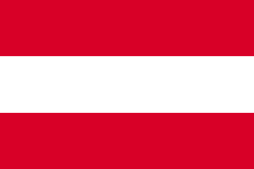 Austria
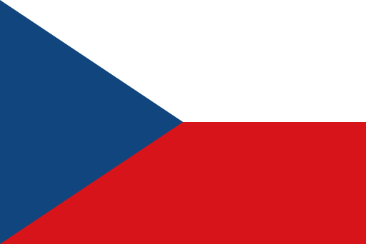 Czechia
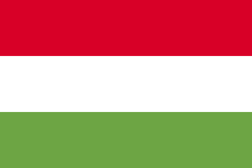 Hungary
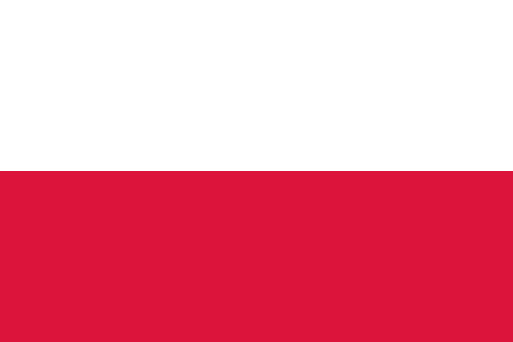 Poland
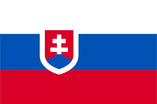 Slovakia
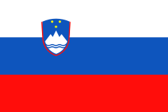 Slovenia
 Andorra
 Italy
Italy San Marino
 Spain
Spain Vatican City
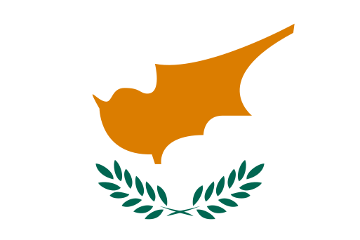 Cyprus
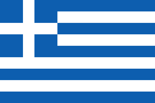 Greece
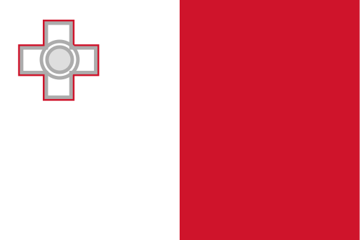 Malta
Malta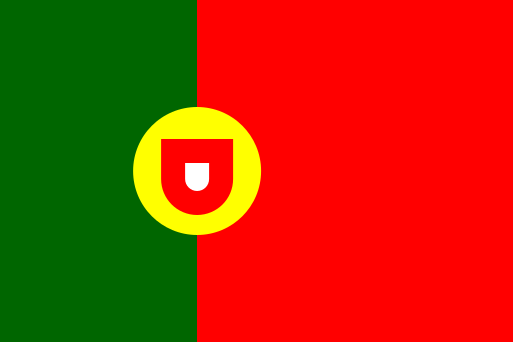 Portugal
 Estonia
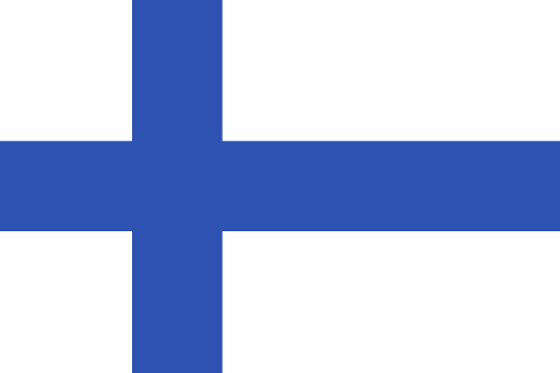 Finland
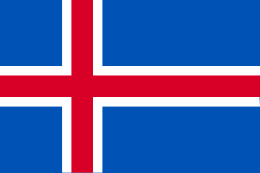 Iceland
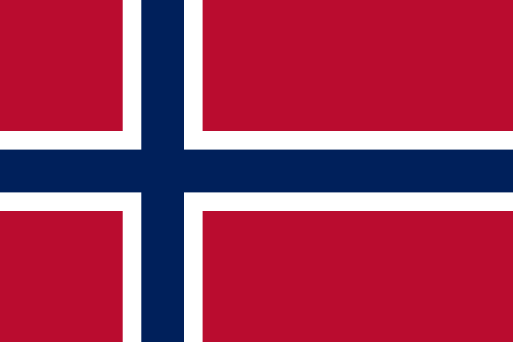 Norway
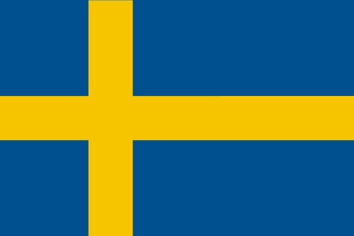 Sweden
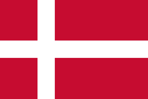 Denmark
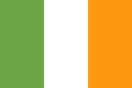 Ireland
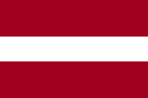 Latvia
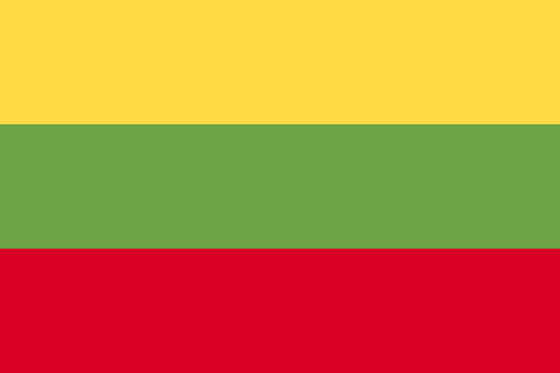 Lithuania
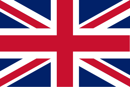 United Kingdom
Territories and disputed areas
-
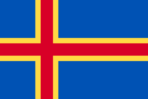 Åland Islands Northern Europe
 -
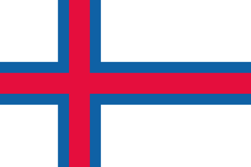 Faroe Islands Northern Europe
 -
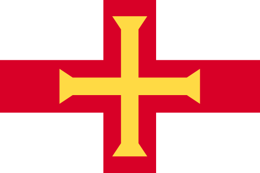 Guernsey Northern Europe
 -
 Isle of Man Northern Europe
 -
 Jersey Northern Europe
 -
 Kosovo Southeast Europe
 -
 Northern Cyprus Southern Europe
Ready to test yourself?
Open the map, start from a country you know, and unlock its neighbours one by one.