Home › Africa
Countries of Africa
54 countries5 regions6 territories
Africa has 54 countries. Don't try to learn them all at once: follow the route below through 9 small groups of neighbours, with capitals, flags and a memory hook for the trickiest shapes, then test yourself.
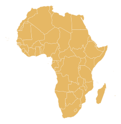
Your route through Africa
- 1
Southern Africa
5 countries
5 countries, a good size for one sitting. Start with South Africa, which touches 4 of the others, then work outwards.
Memory hooks to start you off
- Lesotho
A small round hole in the middle of South Africa, with no other neighbours at all.
- South Africa
The country that forms the southern tip of the continent, wrapping around little Lesotho like a ring around a hole.
- Lesotho
- 2
Northern Africa
6 countries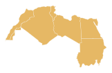
6 countries, a good size for one sitting. Start with Libya, which touches 4 of the others, then work outwards.
Memory hooks to start you off
- Libya
A large rectangle on the Mediterranean coast between Egypt and Tunisia, with the Sahara filling the space behind it.
- Algeria
The huge country on the Mediterranean, taking up most of the north-west, with Morocco on one side and Tunisia and Libya on the other.
- Libya
- 3
Middle Africa, northern part
5 countries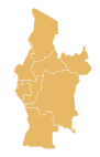
Middle Africa has 10 countries, too many for one sitting, so it is split into 2 parts from north to south. This is the northern part. Start with Cameroon, which touches 3 of the others, then work outwards.
Memory hooks to start you off
- Chad
A huge landlocked block in the north-centre of the continent, with Lake Chad in its south-western corner.
- Central African Republic
Right in the middle of the continent, a landlocked block with Chad above it and DR Congo and the Republic of the Congo below.
- Chad
- 4
Middle Africa, southern part
5 countries Middle Africa has 10 countries, too many for one sitting, so it is split into 2 parts from north to south. This is the southern part. Start with Republic of the Congo, which touches 3 of the others, then work outwards.
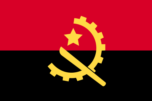 AngolaLuanda
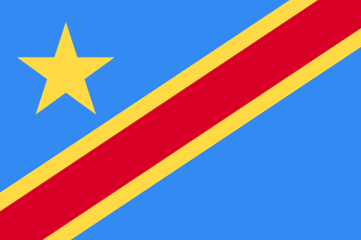 DR CongoKinshasa
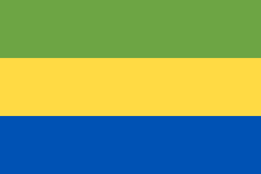 GabonLibreville
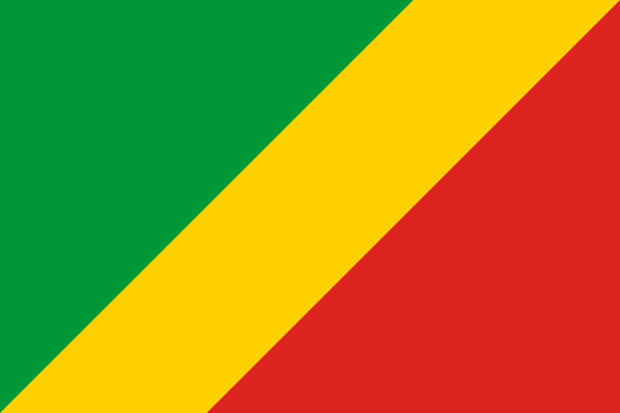 Republic of the CongoBrazzaville
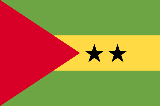 São Tomé and PríncipeSão Tomé
Memory hooks to start you off
- São Tomé and Príncipe
Two small islands floating in the Gulf of Guinea, off the coast of Gabon and Equatorial Guinea.
- DR Congo
A vast central chunk of Africa, centred on the great Congo River, with only a tiny sliver of Atlantic coast.
- 5
Western Africa, northern part
8 countries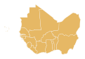
Western Africa has 16 countries, too many for one sitting, so it is split into 2 parts from north to south. This is the northern part. Start with Mali, which touches 4 of the others, then work outwards.
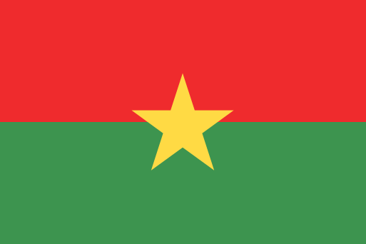 Burkina FasoOuagadougou
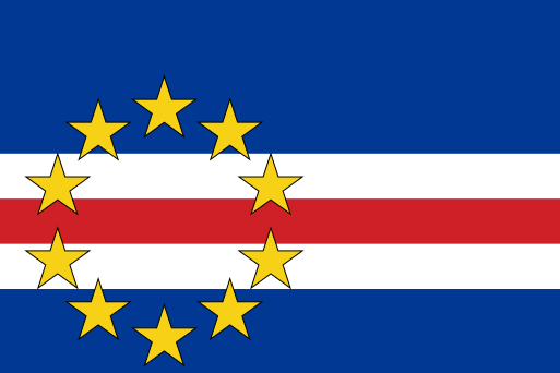 Cape VerdePraia
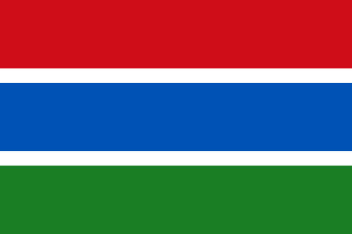 GambiaBanjul
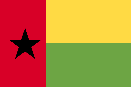 Guinea-BissauBissau
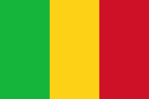 MaliBamako
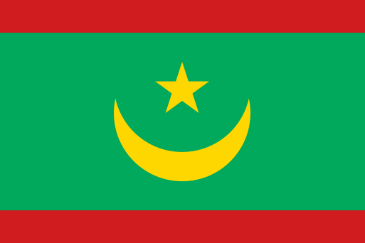 MauritaniaNouakchott
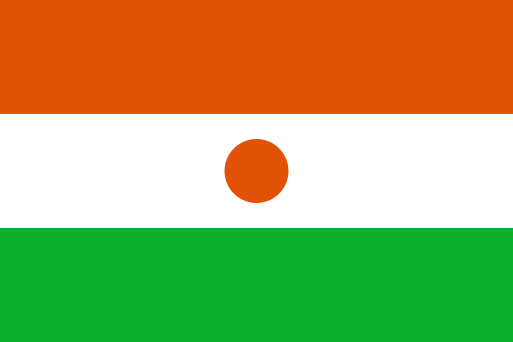 NigerNiamey
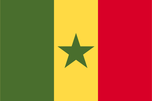 SenegalDakar
Memory hooks to start you off
- Cape Verde
A little crescent of volcanic islands in the Atlantic, west of Senegal.
- Senegal
Sits on the westernmost bulge of the continent and wraps around Gambia like a mouth around a tongue.
- 6
Western Africa, southern part
8 countries Western Africa has 16 countries, too many for one sitting, so it is split into 2 parts from north to south. This is the southern part. Start with Guinea, which touches 3 of the others, then work outwards.
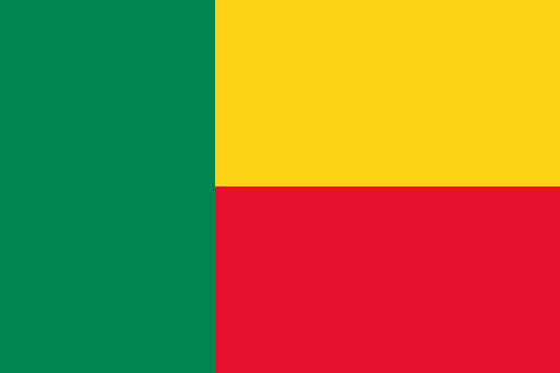 BeninPorto-Novo
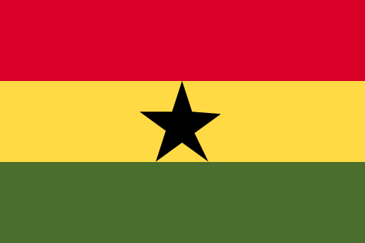 GhanaAccra
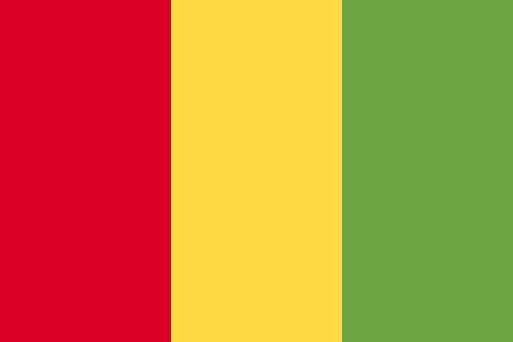 GuineaConakry
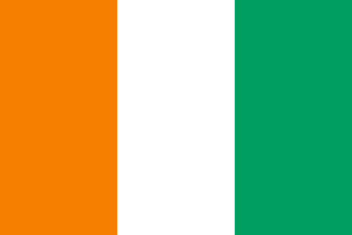 Ivory CoastYamoussoukro
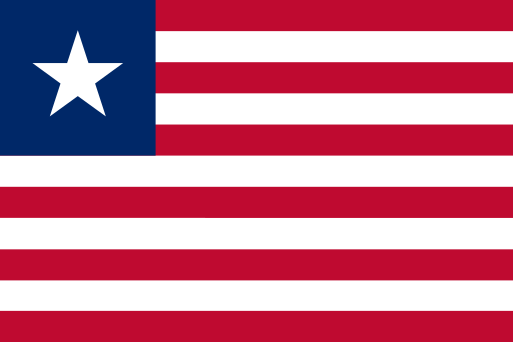 LiberiaMonrovia
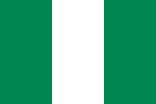 NigeriaAbuja
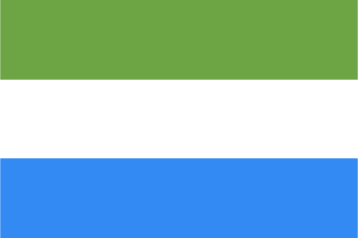 Sierra LeoneFreetown
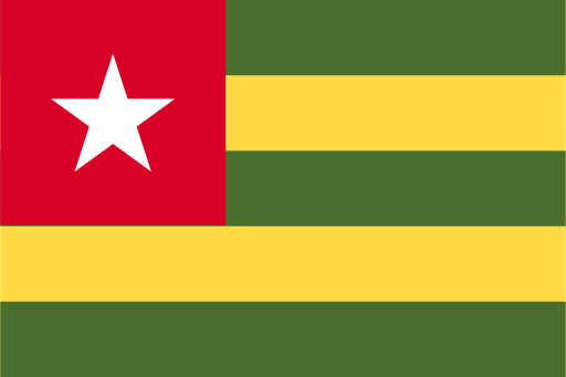 TogoLomé
Memory hooks to start you off
- Benin
A tall, narrow upright strip running inland from the coast, squeezed between Togo and Nigeria.
- Ivory Coast
A squarish block on the south coast of west Africa, with Ghana to the east and Liberia and Guinea to the west.
- 7
Eastern Africa, northern part
6 countries
Eastern Africa has 17 countries, too many for one sitting, so it is split into 3 parts from north to south. This is the northern part. Start with Ethiopia, which touches 4 of the others, then work outwards.
Memory hooks to start you off
- Djibouti
A tiny notch at the mouth of the Red Sea, with Eritrea above it, Ethiopia behind it and Somalia to the south.
- Kenya
Straddles the equator on the east coast, with the Indian Ocean on one side and the corner of Lake Victoria in the south-west.
- Djibouti
- 8
Eastern Africa, middle part
6 countries Eastern Africa has 17 countries, too many for one sitting, so it is split into 3 parts from north to south. This is the middle part. Start with Tanzania, which touches 3 of the others, then work outwards.
Memory hooks to start you off
- Seychelles
A sprinkle of small islands out in the Indian Ocean, north-east of Madagascar.
- Rwanda
A small landlocked blob in the heart of east Africa, with Uganda above, Tanzania to the east, Burundi below and DR Congo to the west.
- Seychelles
- 9
Eastern Africa, southern part
5 countries Eastern Africa has 17 countries, too many for one sitting, so it is split into 3 parts from north to south. This is the southern part. Start with Mozambique, which touches 2 of the others, then work outwards.
Memory hooks to start you off
- Mauritius
A small island in the Indian Ocean, east of Madagascar.
- Mozambique
A long curved coastline down the south-east edge of Africa, facing Madagascar across a channel, with Malawi and Zambia tucked in above.
- Mauritius
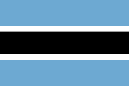 Botswana
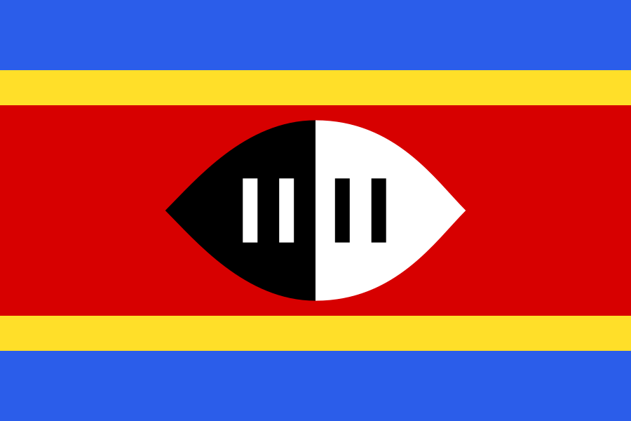 Eswatini
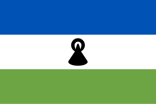 Lesotho
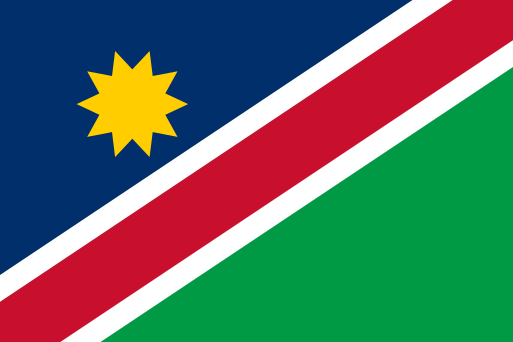 Namibia
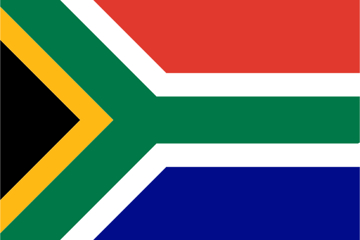 South Africa
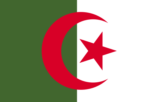 Algeria
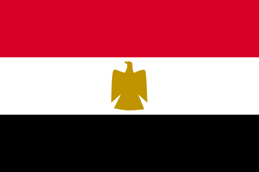 Egypt
Egypt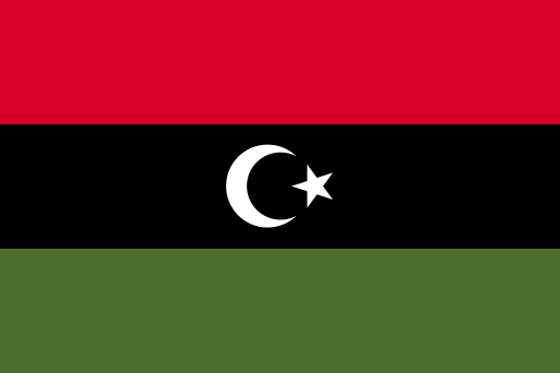 Libya
Libya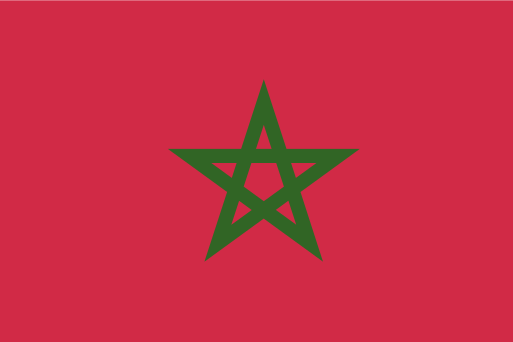 Morocco
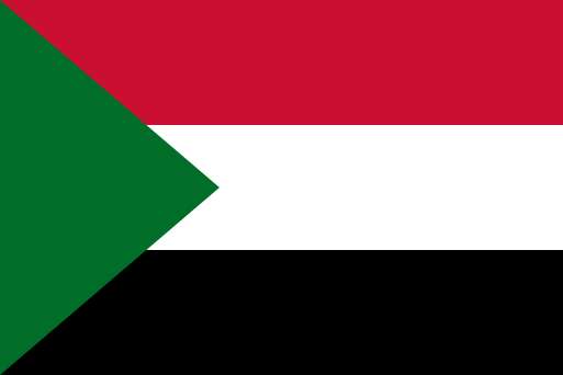 Sudan
Sudan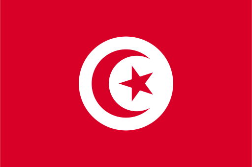 Tunisia
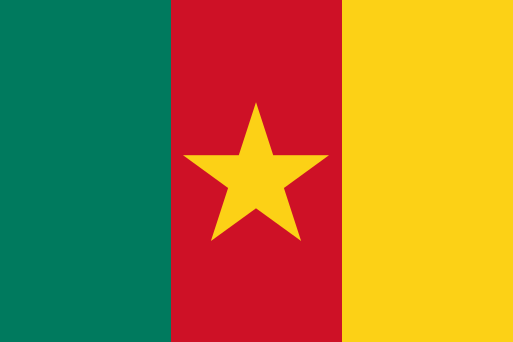 Cameroon
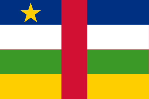 Central African Republic
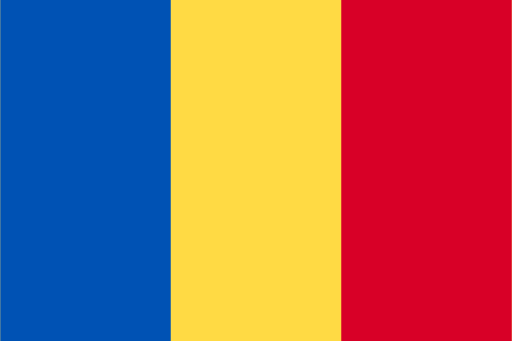 Chad
Chad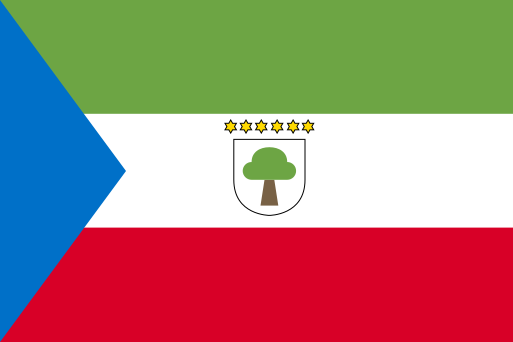 Equatorial Guinea
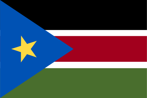 South Sudan
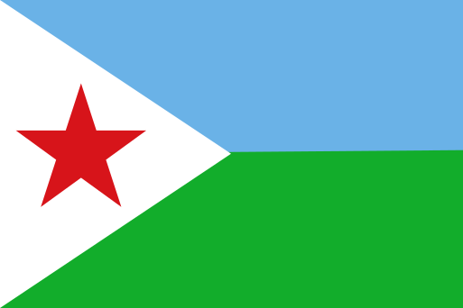 Djibouti
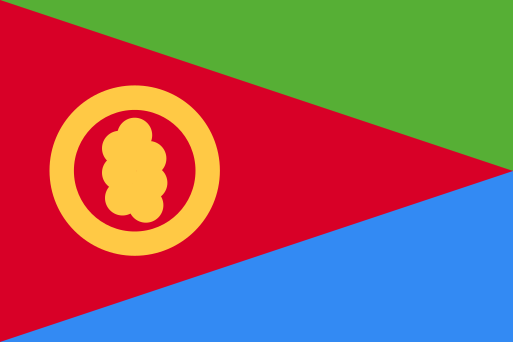 Eritrea
 Ethiopia
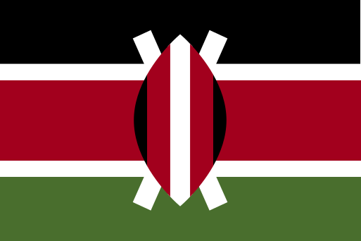 Kenya
Kenya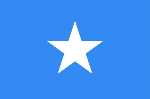 Somalia
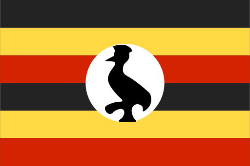 Uganda
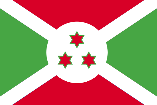 Burundi
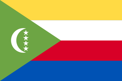 Comoros
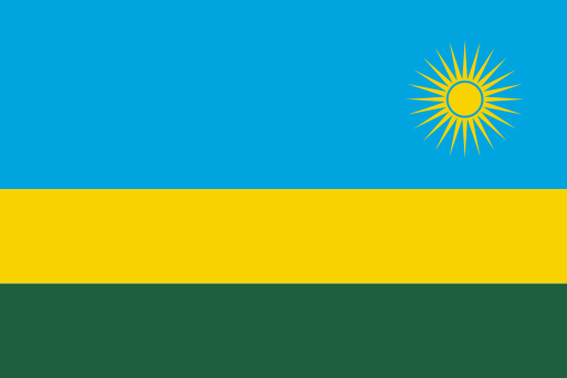 Rwanda
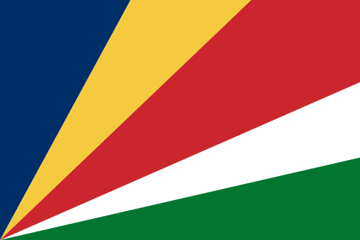 Seychelles
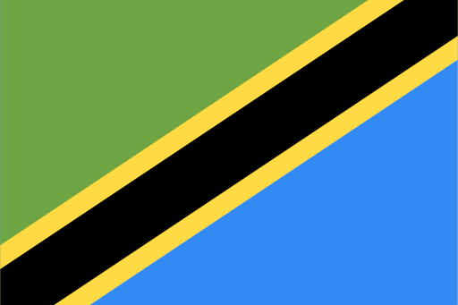 Tanzania
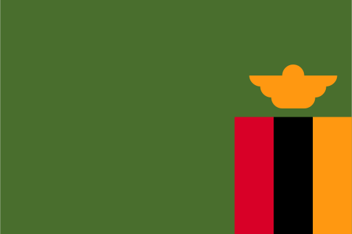 Zambia
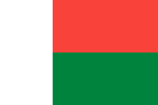 Madagascar
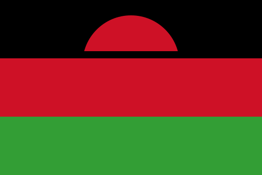 Malawi
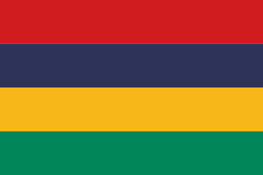 Mauritius
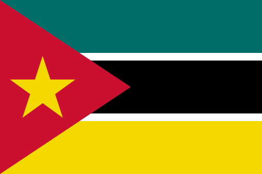 Mozambique
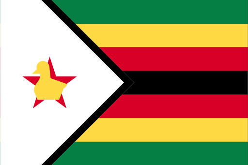 Zimbabwe
Territories and disputed areas
-
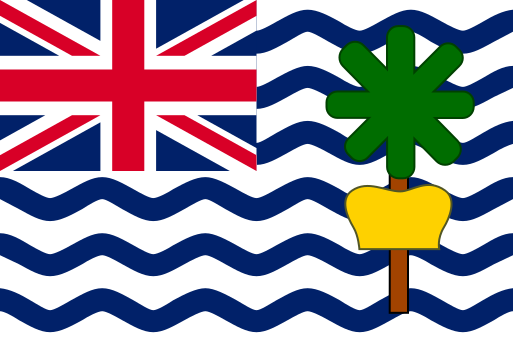 British Indian Ocean Territory Eastern Africa
 -
 Mayotte Eastern Africa
 -
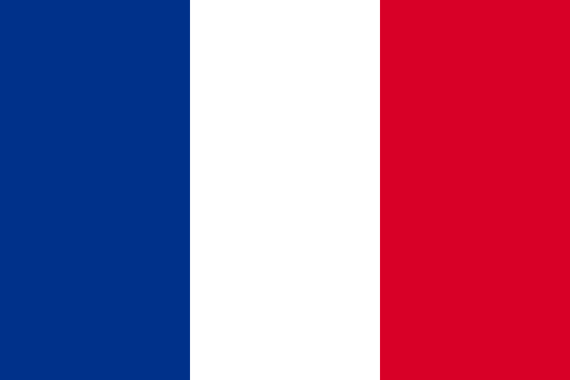 Réunion Eastern Africa
 -
 Saint Helena, Ascension and Tristan da Cunha Western Africa
 -
 Somaliland Eastern Africa
 -
 Western Sahara Northern Africa
Ready to test yourself?
Open the map, start from a country you know, and unlock its neighbours one by one.